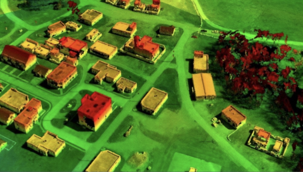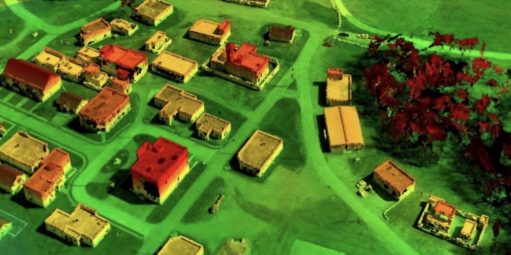
Aerial photographs are a common asset in the military field, but 3D maps are difficult to prepare without special equipment. However, using photogrammetry technology provided by the U.S. Army Corps of Engineers, it is said that it is possible to create an accurate 3D map from a normal aerial photograph in minutes.
Photogrammetry is to create a 3D map by comparing several photos of a place. Of course, this method is well known, but it still requires human power, for example, which frames of the video to use to produce the best results.
The Geospatial Research Laboratory in Virginia, USA, has developed an efficient photogrammetry method that can solve this problem and convert aerial photographs into accurate 3D maps in near real time without human intervention.
The system, tested by the 101st Airways, started a simulated city mapping using a drone. It was also conducted in Iraq for non-combat purposes. It is not a laboratory level, it is a practical technology and has received a patent. Currently, the US Army is said to be making adjustments for commercialization of the system.
The research team explains that whether for military or agricultural use, the technology can quickly provide information on available areas. Real-time photogrammetry technology is not a replacement for rider and ground survey mapping systems. These technologies and working together. It can be applied to various situations without the participation of human experts by generating an accurate sense of depth in a general aerial photograph and sending a large amount of data to the center. Related information can be found here .


Add comment